Projects
Roadside & Trailside Fuel Reduction Projects
Current and Past Fuel Load Reduction
We help homeowners create or improve defensible space around their homes by clearing brush and getting the material chipped. SSFSC supports chipping grants in all three counties, conducts Free Chipping Days twice a year and provides partial reimbursement where grants are unavailable.
Projects to Help Our Community
You can help with the valuable work the South Skyline Fire Safe Council is doing to prepare for a likely wildfire in our community. The many projects and initiatives we tackle require individual initiative and research and will be supported by experienced board members. We are all volunteers and conduct rewarding and valuable work to help our community.
For further information on any of these and other projects, or to volunteer, e-mail SSFSC.Outreach@gmail.com or contact any of the Board Members.

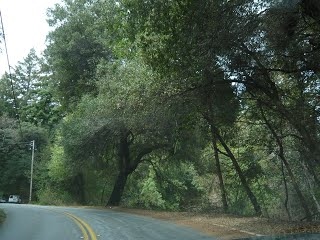
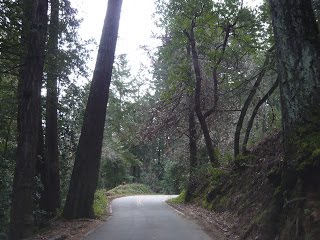
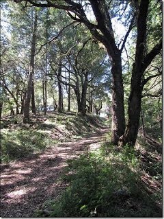
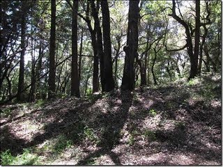
Alpine Road – Portola Redwoods State Park: 2015
The summer of 2015 saw a joint project with Santa Clara County FireSafe Council from funds awarded by PG&E to reduce the fuel load along a 3.3 mile section of Alpine Rd in San Mateo County from Skyline Blvd past State Park Blvd. A fuel break up to 60ft wide (depending on the county roads easement) was performed by contractor crews. Removal of dead trees and trees smaller than 4 inches in diameter, trimming of branches of larger trees up to a height of 10 feet as well as brush removal. Such an effort clears the way for emergency egress and ingress along Alpine Rd to service the State Park Blvd area now to Portola Redwoods State Park, including the Middleton Tract community.

Click or tap to view larger image.
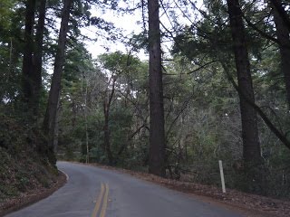
Black Road: 2016
The Black Road Project was a cooperative project with the Santa Clara County Fire Safe Council (SCCFSC) that had received a grant from Cal Fire to do fuel reduction along Black Road (which is within the South Skyline FireSafe Council boundaries). Fuel reduction was done from the junction of Black Rd and Skyline Boulevard down to the Lakeview School. SSFSC participated in the Phase 1 of this project by providing volunteer sponsors to support the CDC crews as they cleared brush on both sides of the road from Skyline to Gist Road intersection.
In 2017 SCCFSC completed the final stretch of this fuel reduction project, extending it to just below Lakeview School.
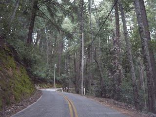
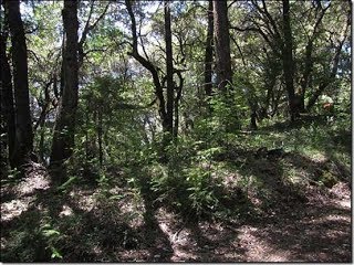
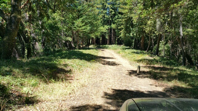
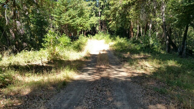
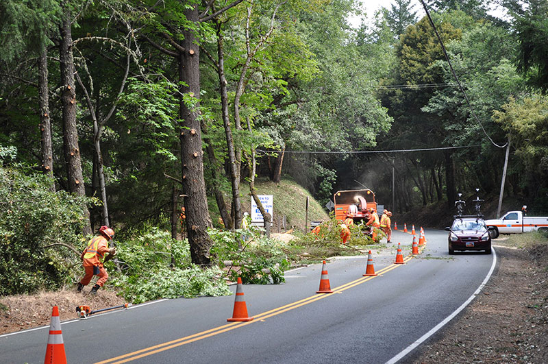
Charcoal Road: 2019
The Charcoal Road Shaded Fuel Break project was a joint effort between The South Skyline Fire Safe Council, The Santa Clara County Fire Safe Council, Mid-Peninsula Regional Open Space District, Santa Clara County Parks and CAL Fire. Charcoal road runs from Skyline Blvd Northeast, down into the headwaters of Stevens Creek. The primary objective of the fuel break was to provide a zone where the vegetation had been reduced to lessen the spread of a wildland fire. The fuel break will give suppression crews access to the area and provide a viable containment line during a vegetation fire.

Click or tap to view larger image.
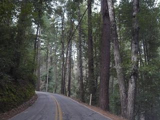
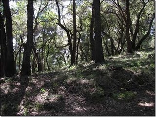
Goat Trail Phase 1: 2019
Skyline Blvd. runs between Santa Clara and Santa Cruz counties. It is a narrow mountain road that serves multiple mountain communities. Thousands of residences use this road every day, yet there are certain sections that would be impassable in the event of a wildfire. The Santa Clara County Fire Safe Council in partnership with the South Skyline Fire Safe Council has completed Phase I of an Escape Route / Shaded Fuel Break project on a portion of the roadway known as the Goat Trail.

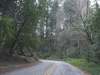
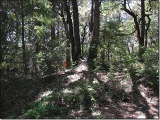
Goat Trail Phase 2: 2020
Skyline Blvd. runs between Santa Clara and Santa Cruz counties along a ridge in the Santa Cruz Mountains. It is a narrow mountain road that serves multiple mountain communities. Thousands of residents use this road every day, yet there are certain sections that would be impassable in the event of a wildfire. The Santa Clara County Fire Safe Council in partnership with the South Skyline Fire Safe Council has completed Phase II of an Escape Route / Shaded Fuel Break project on a portion of the roadway known locally as the Goat Trail.

Click or tap to view larger image.
Kings Creek Truck Trail: Project Overview
The Kings Creek Truck Trails projects were developed as a result of the Kings Creek Fire of 2010. Through grants from Calfire there were three phased projects designed to provide a substantial fuel break along the ridge line of Castle Rock State Park and the San Lorenzo Valley.
Phase 1: 2012 to 2013, included work from Skyline Blvd to Skyview Road (Deer Creek Road Association)
Phase 2: 2014, included work from Skyview Rd to the gate at Vajrapani.
Phase 3: 2016, included work from Vajrapani along KCTT to Highway 9 at the San Lorenzo River.
CDC crews and private professional tree crews were used to complete the work at the direction of SSFSC volunteers.

Click or tap to view larger image.
Kings Creek Truck Trail: 2012 – 2014
The vegetation reduction on KCTT extended from its intersection with Highway 35 a distance of 4.3 miles ending in the Vajrapani Institute property at the upper end of a short private extension of Kings Creek County Road. This work has re-opened a continuous fire truck trail from the Kings Creek Rd. intersection with Highway 9 all the way to Highway 35, a distance of some 9 miles overall. Note however that Kings Creek County Road and the short private extension are deep in a heavily wooded narrow canyon and may not be suitable for use as a fire break.
Kings Creek Truck Trail: 2016
In August 2016, a vegetation maintenance project on the Kings Creek Truck Trail was completed. This project was very well received by the community and provided maintenance to a critical access route through steep rugged terrain, which has otherwise limited access options. A large amount of vegetation had re-grown since it was cleared a little less than one year before this work. Since this fuel reduction work was done in the dry, hot part of the fire season, a pressurized water tank (which can be seen in the photos) was carried with the crew in case their equipment sparked a fire. They also carried hand extinguishers on their belts and a backpack fire pump in Erik Isacson’s truck at all times.
Oak Ridge Road: 2020
Oak Ridge Road is 1.3 miles long and has 17 homes on 21 parcels. It is located at the southern end of the SSFSC boundary. It’s entrance on Skyline Blvd. is a half mile from Black Road. The project employed Huerta’s Tree Service. The prescription was to remove the heavy fuel load from 20 to 30 feet on the downhill side of the road and create a shaded fuel break at road level. The grant allowed for 12. 5 days of work. The Oak Ridge Road Association contributed $3,600 to extend the project to 14 days. The work was done in two phases, two weeks in mid-October and a week in mid-November.
Portola Heights: 2015
This is a the final report of the manage vegetation in the Wildland Urban Interface (WUI) zone in the San Mateo County lands centered on the Five Points Vicinity within the Pescadero Creek watershed. The work consisted of cutting back the overgrowth of vegetation along fire roads, public and private access roads in the vicinity. The work covers the primary and emergency ingress and egress for the Portola Heights neighborhood off of 22400 Skyline Blvd (California Route 35) in La Honda.

Click or tap to view larger image.
Portola Heights: 2020
The original scope of work under this grant obtained by the South Skyline FireSafe Council (SSFSC) was to reduce flammable vegetation along the old Middleton Road running between Portola Heights and Portola State Park Road. After that project was determined to be infeasible due to the need to regrade and build a bridge, the scope was converted to clear vegetation along roadways within the Middleton Tract Homeowner’s Association adjacent to Portola Redwood State Park in San Mateo County, California. However, this project was also canceled in December 2019 due to inadequate community support. Fortunately, the nearby Portola Heights Community was interested in clearing their roads which are within the area of the CEQA originally performed for the Middleton Tract project. So CalFire permitted and encouraged SSFSC to revise the scope again to clear shaded fuel breaks within this community.

Click or tap to view larger image.
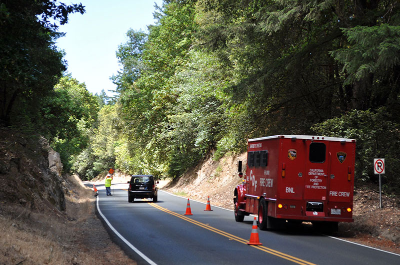
Portola State Park Road: 2023
At the end of September the South Skyline Fire Safe Council (SSFSC) completed a 19 day hazardous roadside vegetation reduction along Portola State Park Road in southwest San Mateo County. PG&E granted $100,000 in early June for this project.
The goal of the project was to improve firefighting equipment access and evacuation routes in case of wildfires. Portions of this road were within 2 miles of the 2020 CZU fire.
Planning started in January 2023, spurred by a series of winter storms that worsened an already constrained 15-20′ paved road with overgrown vegetation. In early July, SSFSC began getting permission from 20 property owners along the road. The treatment occurred in two phases, spanning the last two weeks of August and September, addressing immediate risks and enhancing community safety.

Click or tap to view larger image.
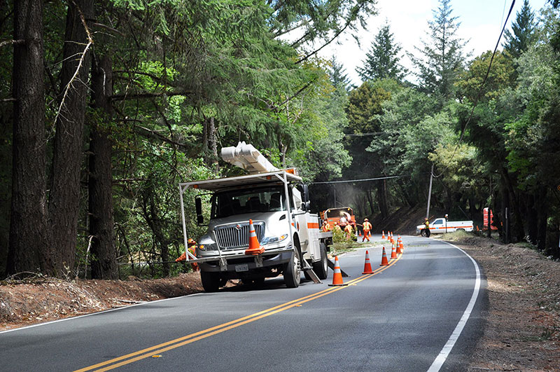
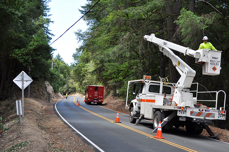
Skyline Boulevard: 2021
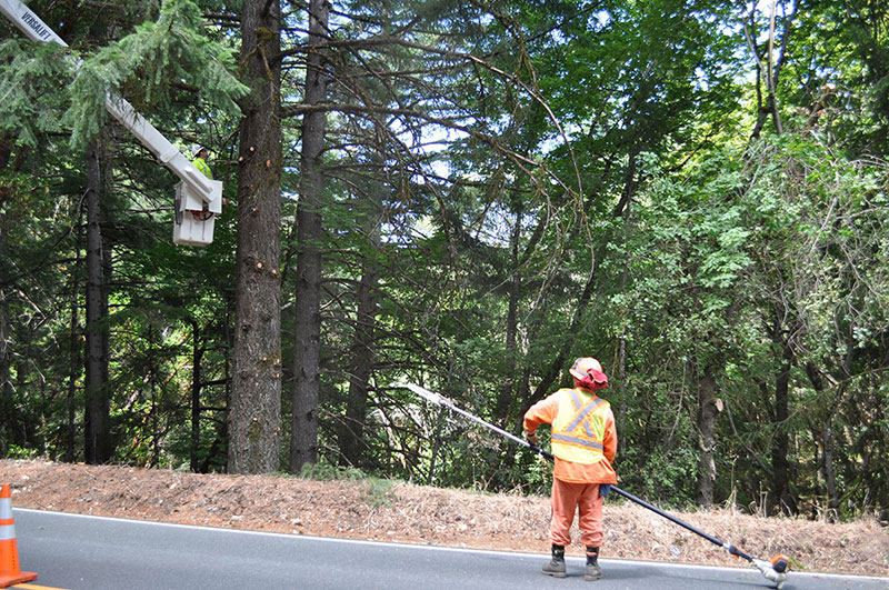
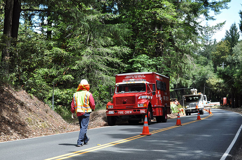
Hazardous vegetation reduction for escape route safety for 5 miles between Black Road and postmile SCL 12.8 (about 1 mile south of Hwy 9) in Santa Cruz and Santa Clara Counties. SSFSC partnered with CalTrans crews who also performed much-needed maintenance during the Project. The environmental review and private tree crews were funded by the PGE 2021 Vegetation Management Grant Program and a grant from the South Skyline Association. Material was chipped back on-site except for invasive brooms. Broom was pulled and disposed off-site. An estimated 21 acres was treated 15 – 35 feet from the sides of the highway.
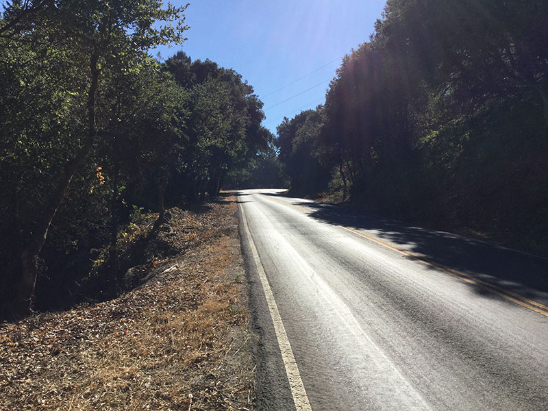
Skyline Boulevard: 2016
This segment of Skyline Blvd focused on reducing fuels within the CalTrans right of way from Page Mill Road north to Rapley Ranch Road. The project began on August 10, 2016 and ended on September 23, 2016. It was managed by South Skyline FireSafe Council, work crews were from Ben Lomond Camp CDCR/CalFire, Traffic Control and Chipping by CalTrans, CEQA by MidPeninsula Regional Open Space District, and funding by Pacific Gas and Electric Company. After exhausting the 15 days allotted by CalTrans, we had completed 3.2 miles or 73% of our total objective.
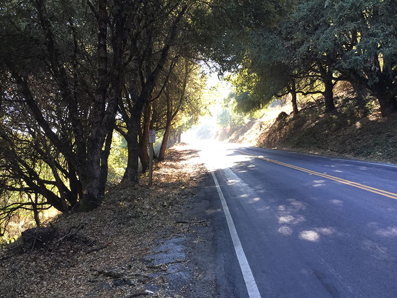

Skyline Boulevard: 2014
Skyline Boulevard in San Mateo County is also part of an ongoing effort.
We received a grant from PG&E to reduce fuel load along Skyline Boulevard in San Mateo County in both 2014 and 2016. Both the 2014 and 2016 work was performed by CalFire crews, and Caltrans provided chippers and lane closures and pilot vehicles. Several SSFSC volunteered as supervisors.
This Skyline Boulevard project during the summer of 2014 cleared fuel from the San Mateo County border to Rapley Ranch Rd (Fogerty Winery). Sponsorship by PG&E, CalFire and CalTrans.
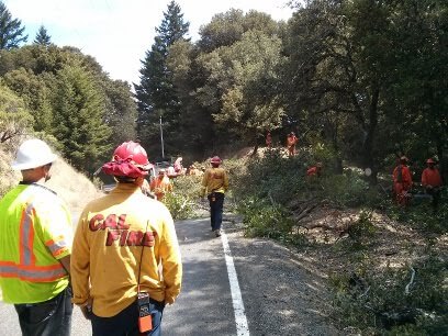
CA35-14-1
CalTrans, CalFire crews and SSFSC volunteers working along Skyline
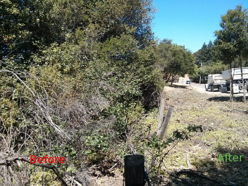
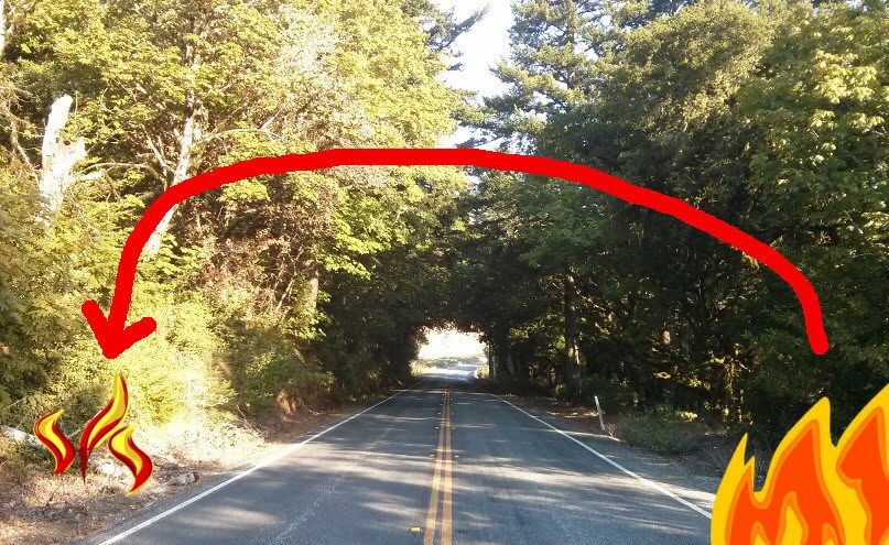
CA35-Before-After
Fuel break cleared up to the MROSD fenceline within the CalTrans right-of-way along California Highway 35 (Skyline Blvd). The Before image is how the entire section looked before the SSFSC project.
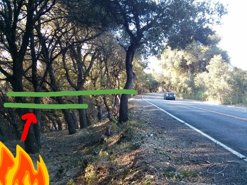
CA35-Goal-of-Stopping-Fire-Jumping-Skyline
Fuel break cleared up to the MROSD fenceline within the CalTrans right-of-way along California Highway 35 (Skyline Blvd). The Before image is how the entire section looked before the SSFSC project.
CA35-Goal-of-Stopping-Fire-Jumping-Skyline2
In this Before picture, limbing up trees and removing groundcover helps prevent a fire from jumping from one side of Skyline to the other.
Skyline Boulevard: 2012
In 2012 we managed clearance of vegetation encroaching on Skyline Boulevard in Santa Cruz County between Highway 9 and Black Road using part of the Federal grant funds obtained for the Kings Creek Truck Trail. We partnered with Caltrans, CalFire Fire Crews and community volunteers.
Ward Road Truck Trail: 2015 – 2016
The Ward Road Project created a shaded fuel break along Ward Road from Skyline Blvd to Pescadero Creek (Old Haul Rd). The project was funded by a State of California SRA Grant managed by SSFSC with approval and oversight from Mid-peninsula Regional Open Space District, Portola Redwoods State Park and local landowner Redtree Partners.

Click or tap to view larger image.